Blackbutt Creek Track
About
Start/finish: St Johns Avenue to Vale Street, Gordon
Distance: 2.4km
Duration: 40mins one way
Difficulty: Moderate – some steep, rough sections and steps
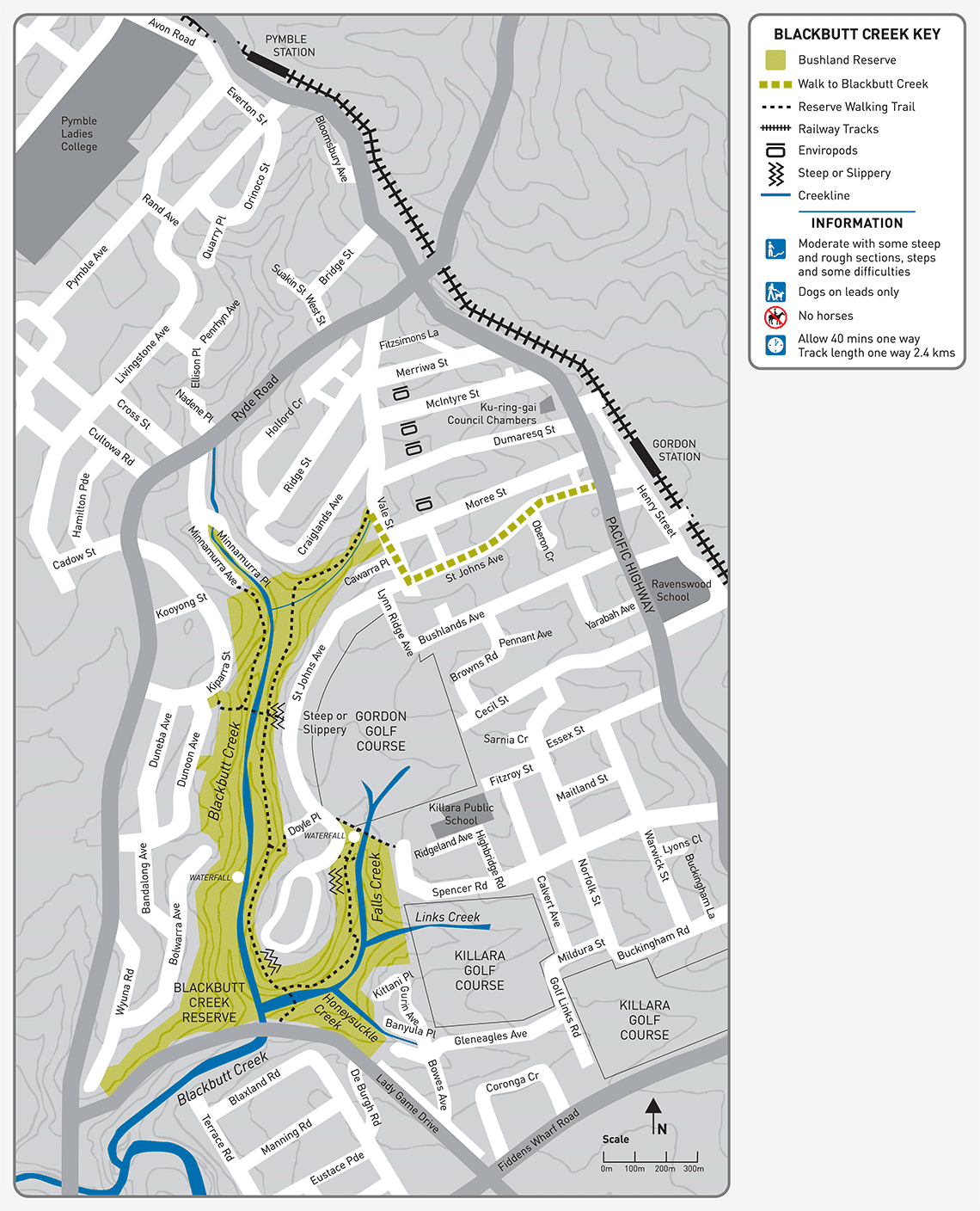
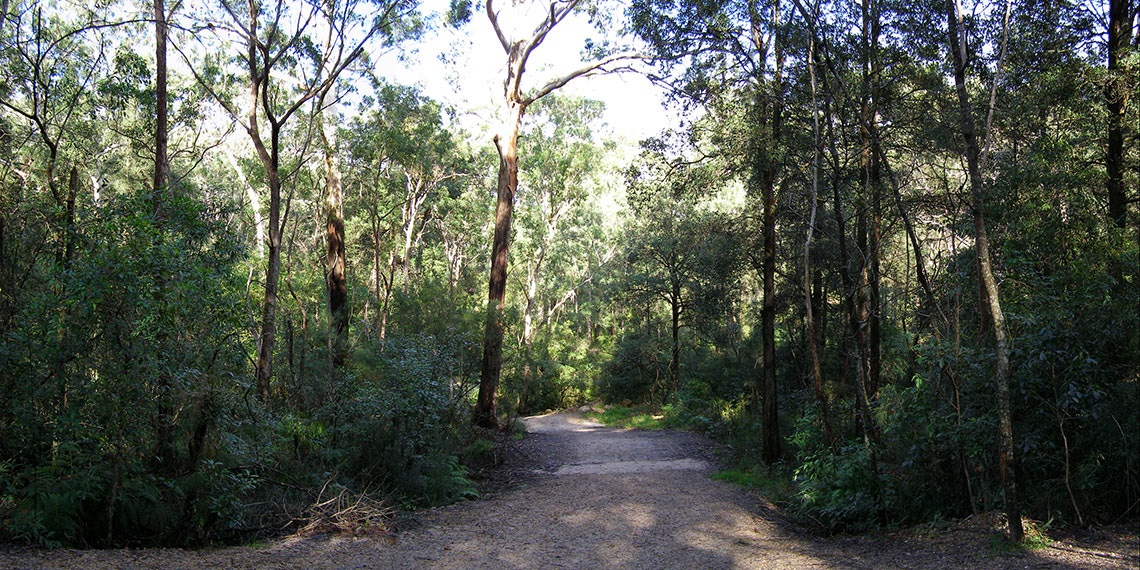
Description: Blackbutt Creek has some of the tallest Blackbutts, along with attractive Turpentines and Peppermint woodland. The track follows the creek along the reserve, home to numerous endangered flora and fauna species, including the Powerful Owl. It crosses Blackbutt Creek and winds along the fire trail to Falls Creek before connecting up with St Johns Avenue.
View Blackbutt Creek Track brochure and map(PDF, 2MB)
More info: Phone 9424 0000 or email krg@krg.nsw.gov.au.