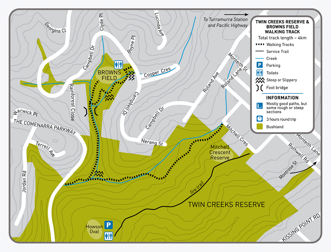
Twin Creeks and Browns Field Track
About
Start/finish: Campbell Drive via Twin Creeks to Mitchell Crescent, Wahroonga
Distance: 4km return
Duration: 3hrs return
Difficulty: Moderate – steep, rough sections and steps.
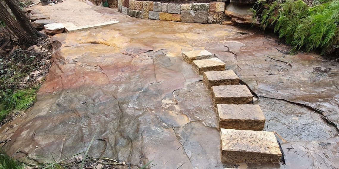
Description: Browns Field borders two creek lines that encircle a grassed oval which lies in the flat valley floor of a small volcanic diatreme. It is one of around 150 such diatremes scattered across the Sydney Basin. The track follows the creek line, winding through a beautiful rainforest community to tall Eucalypt forest. Along the ridge top, some rare species of Eucalyptus can be found, characteristic of the dry Sydney sandstone and complemented further down by the moist terrain covered with Blackbutts. Find out more about the Ku-ring-gai GeoRegion.
View Twin Creeks and Browns Field track brochure and map(PDF, 1MB)
More info: 9424 0000 or email krg@krg.nsw.gov.au.