Grosvenor Street to Gwydir Avenue Track
About
Start/finish: Grosvenor Street, North Wahroonga, to Gwydir Avenue, North Turramurra. You can start or finish at any of the other track entrances/exist shown on the map below.
Distance: 6.5km one way
Duration: 2.5hrs one way
Difficulty: Moderate – steep, rough sections and steps
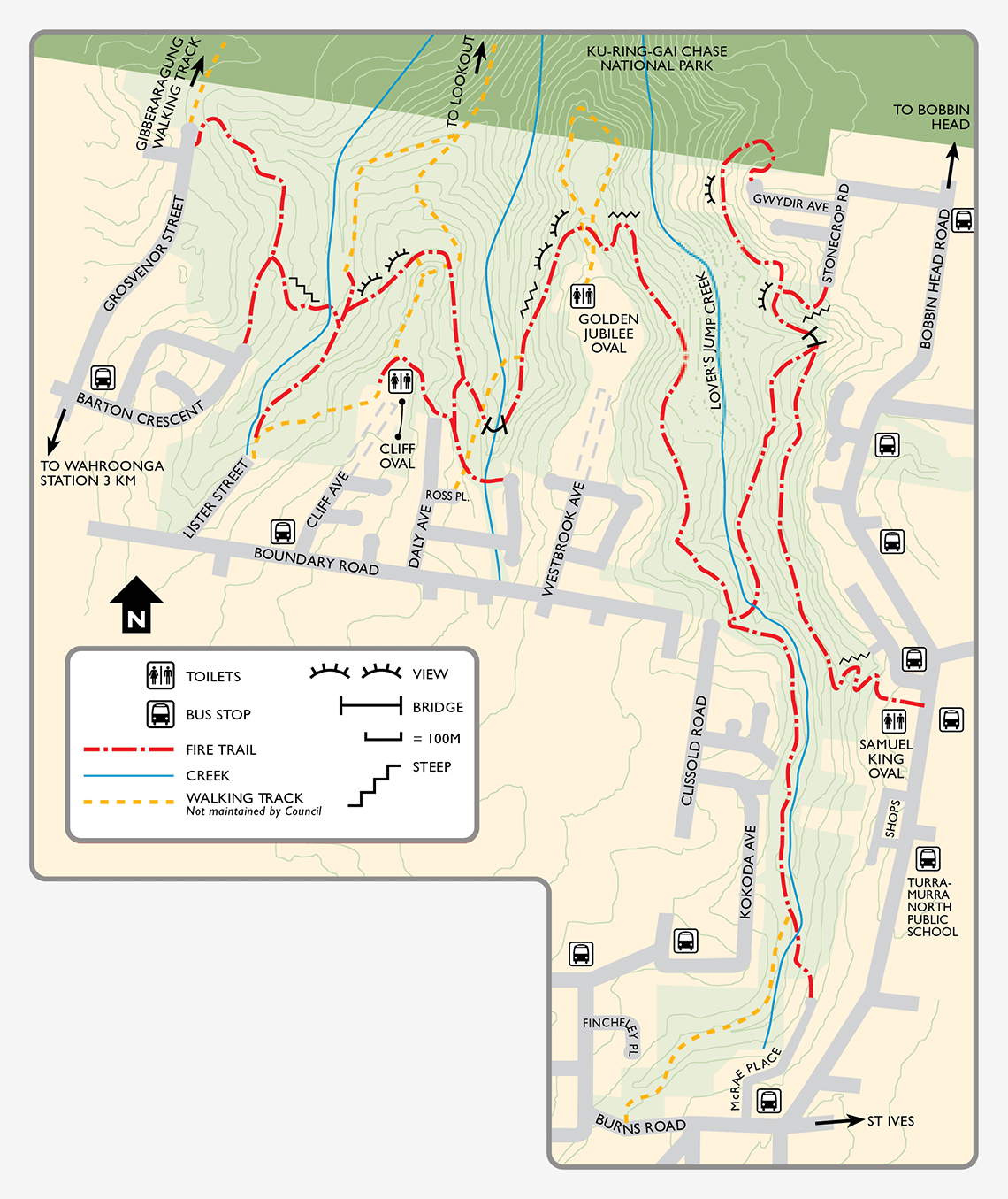
Description: This track passes through classic Sydney sandstone bushland, ridge top vegetation, heath, tall open forest and cool creek-side communities. The track winds along the edge of vast bushland that extends all the way to the Hawkesbury and beyond. Vistas north into the wilds of Ku-ring-gai Chase National Park are not to be missed. Birds, other fauna and flora are abundant in the area.
View Grosvenor Street to Gwydir Avenue Track brochure and map(PDF, 503KB)
More info: Phone 9424 0000 or email krg@krg.nsw.gov.au.