Ku-ring-gai maps
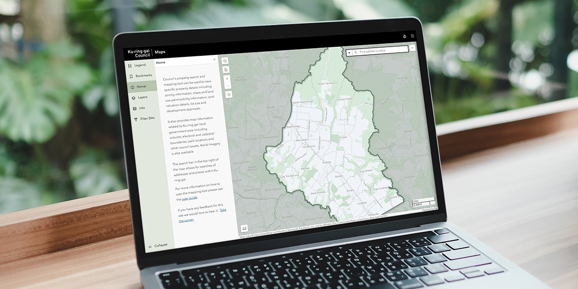
Ku-ring-gai maps is an easy-to-use mapping service to help plan activities and find services including:
- Land use eg zonings.
- Your property information.
- Tree permits for properties.
- Heritage properties and conservation areas.
- Electoral boundaries.
- Finding a facility eg schools, community centres, playgrounds, parks.
- Measurement and printing tools.
- Aerial photography (2021).
- Google Street View.
Use the search bar in the top right of the map to find addresses and places within Ku-ring-gai.
Go to maps